Sunday, July 28, 2013
Refreshing archival material
This blog had long been relegated to the category of missing and, perhaps, forgotten. After looking at the pictures, I decided it might be worth giving the whole thing a new look. With that in mind, here goes...
Friday, July 15, 2005
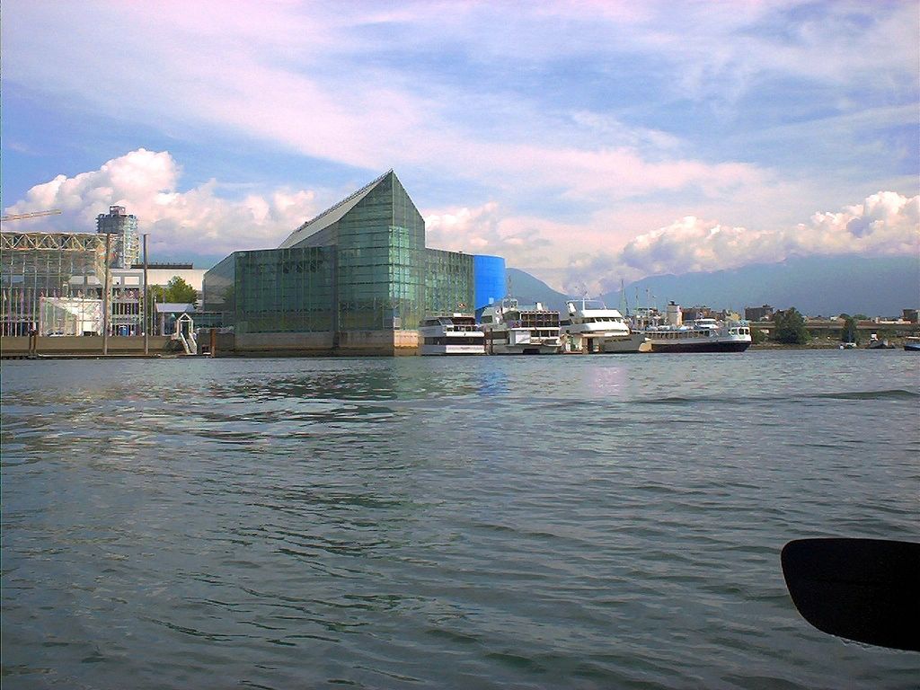
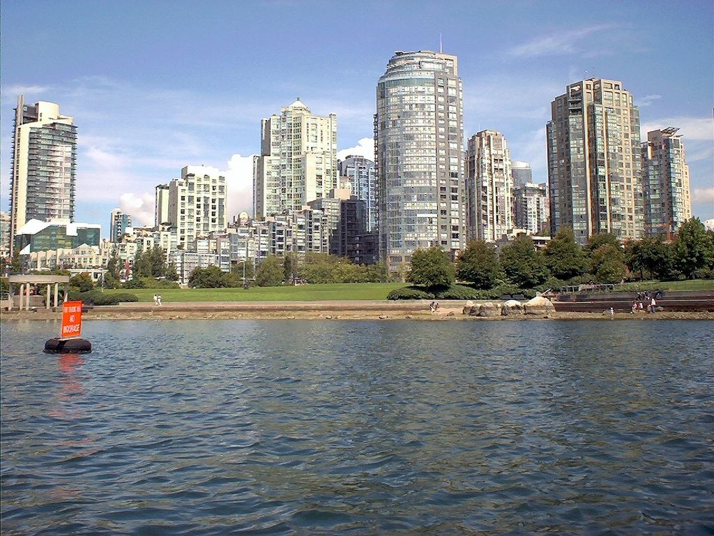
False Creek in downtown Vancouver
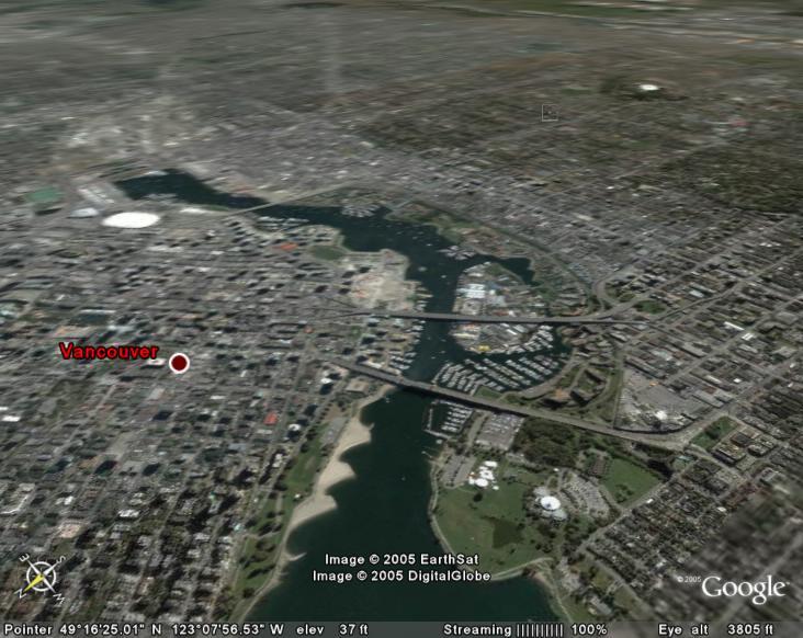
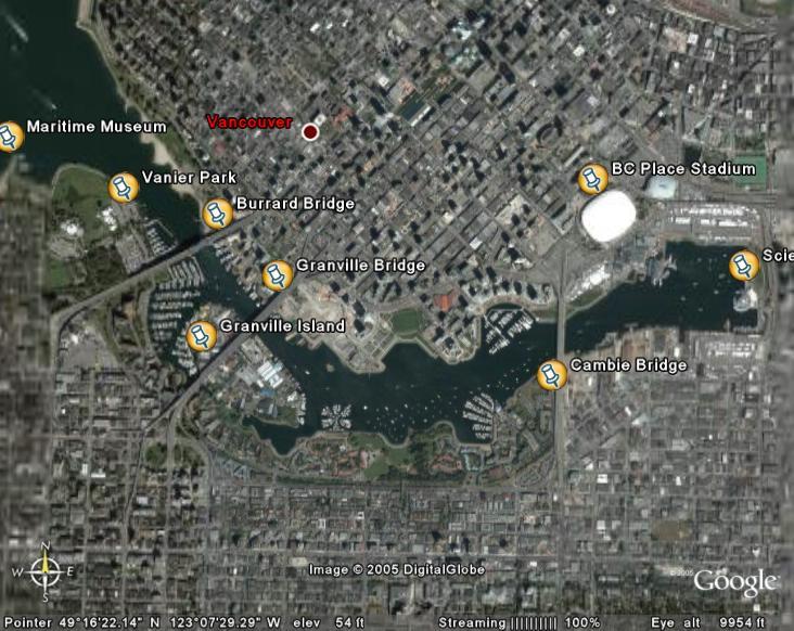
Satellite view down False Creek (See Google Earth)
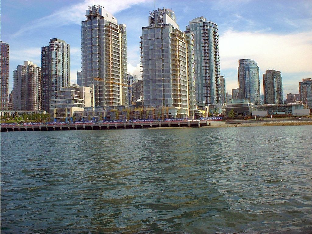
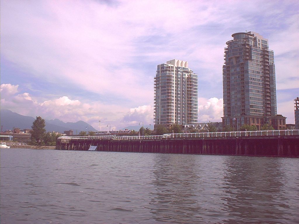
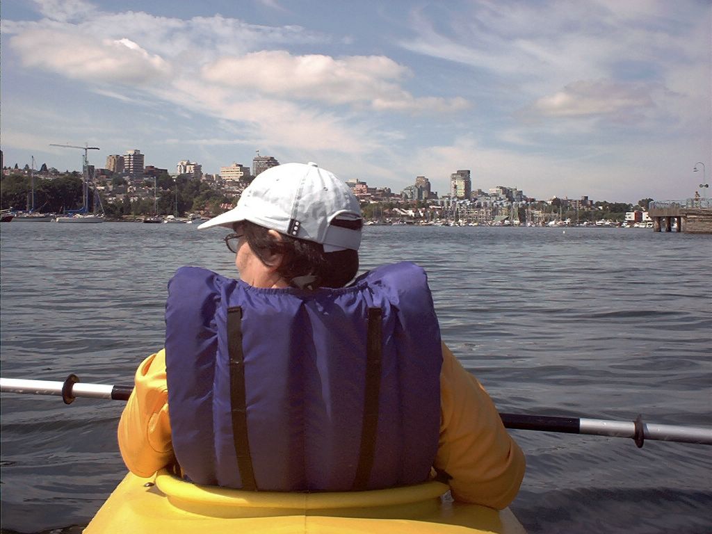
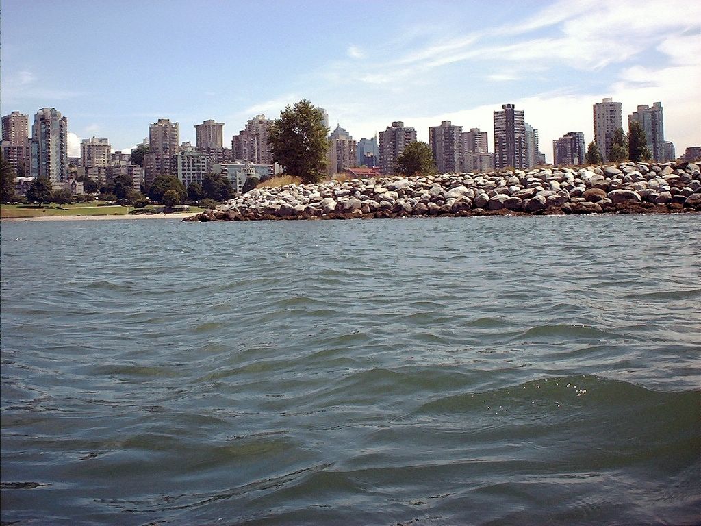
A view to the north side of False Creek (Yaletown) shortly after having launched and paddled under the Burrard and Granville street bridges
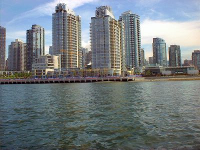
A view to the north side of False Creek (Yaletown) shortly after having launched and paddled under the Burrard and Granville street bridges
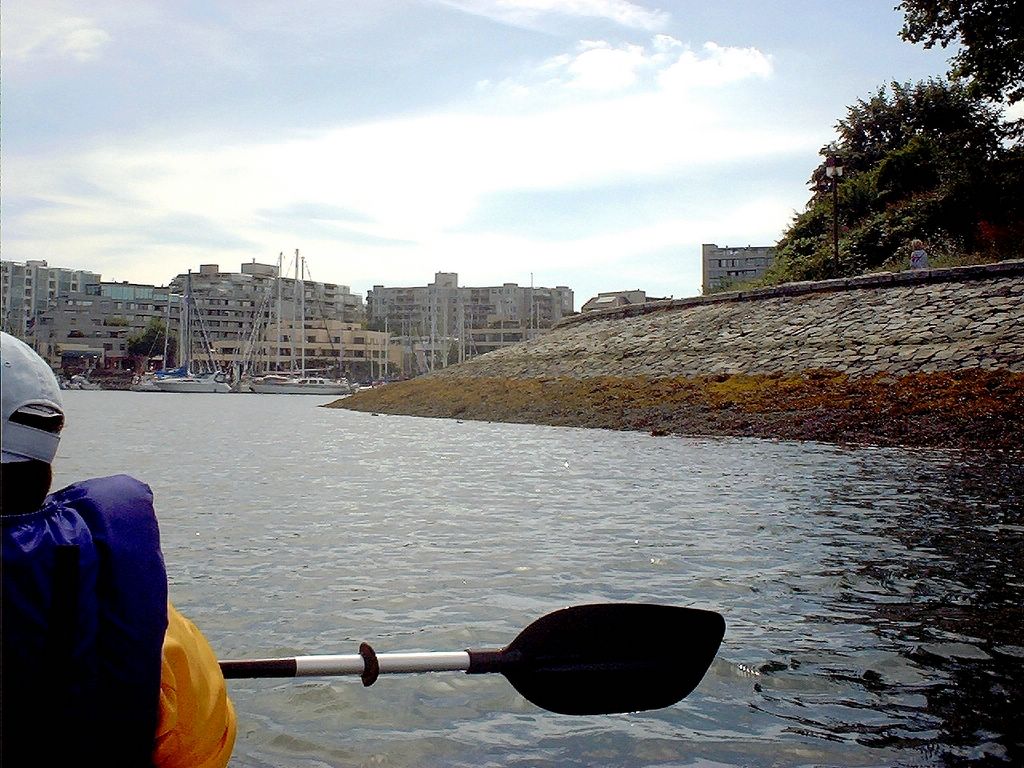
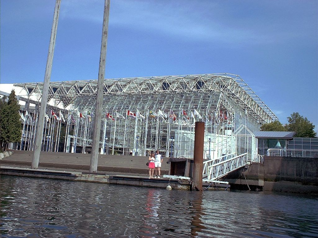

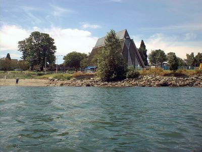
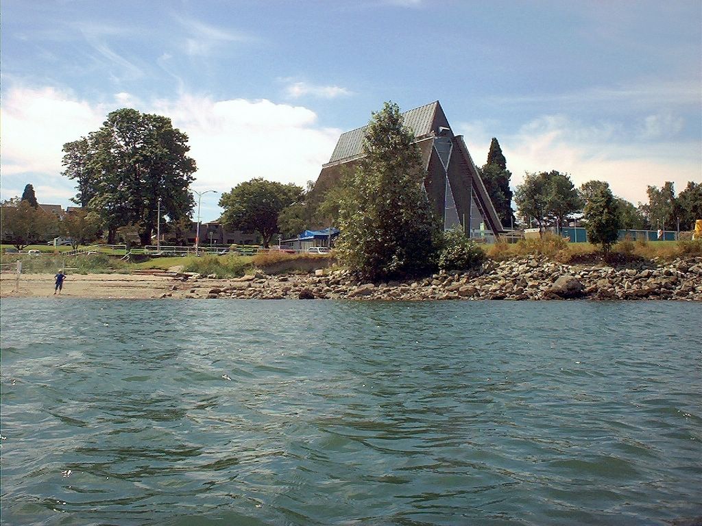
The beach in front of the Maritime Museum. A couple of years ago, the girls and I visited this beach on our bikes and noted that, while great for swimming, it was a "doggy" park. This time, Hanne and I noticed that the dog portion of the beach had been fenced off and separated from the main beach area.
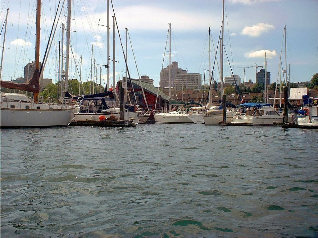
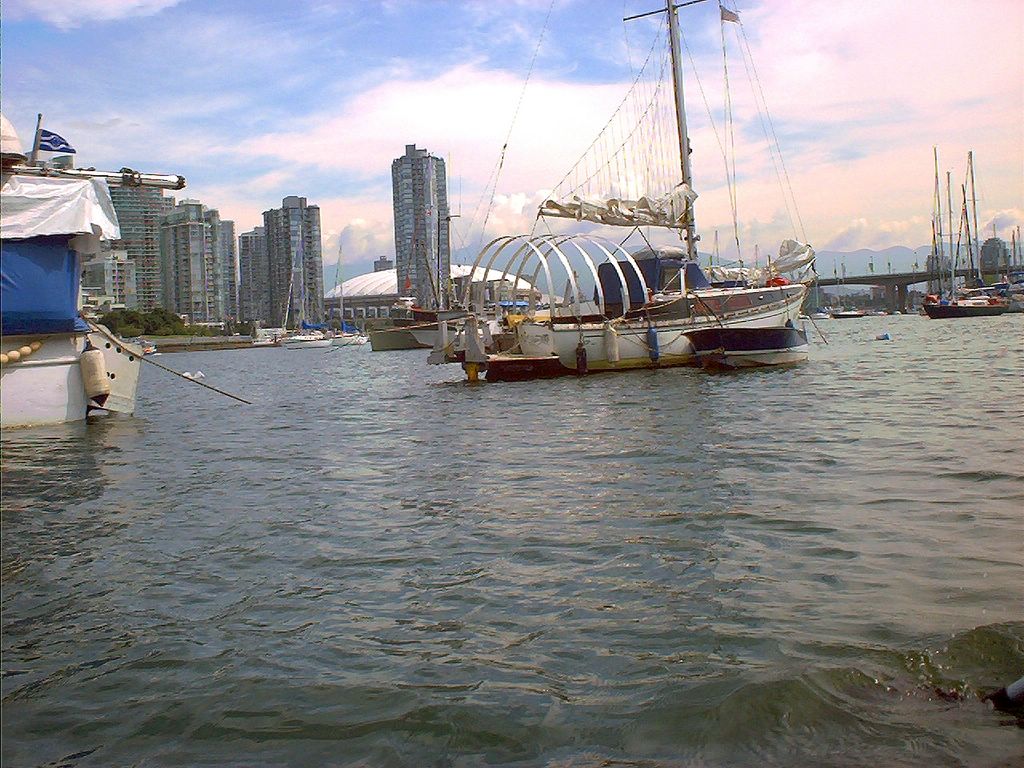
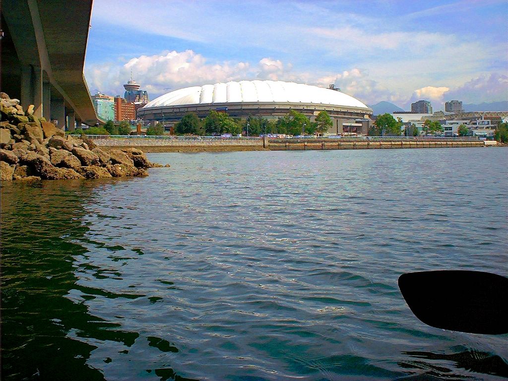
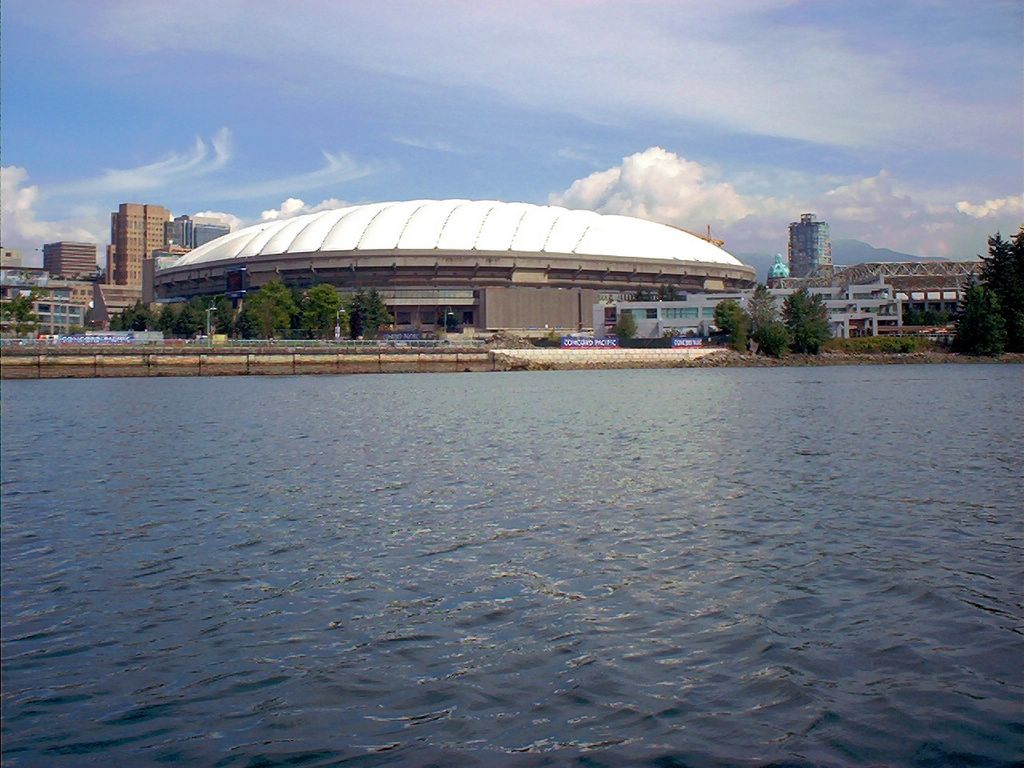
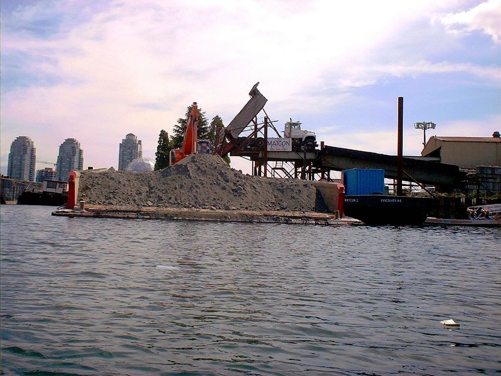
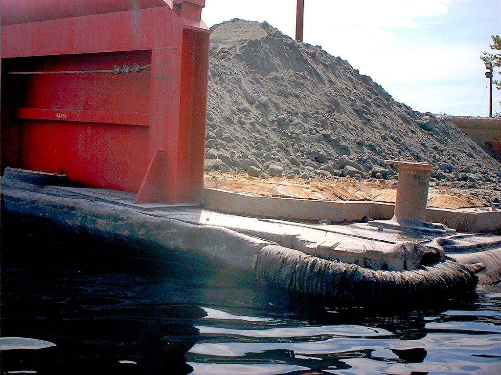
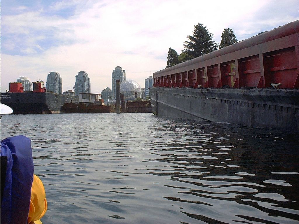
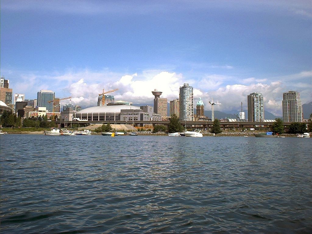
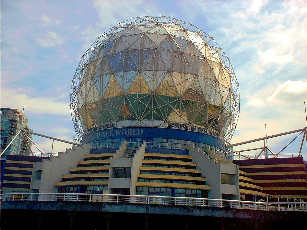
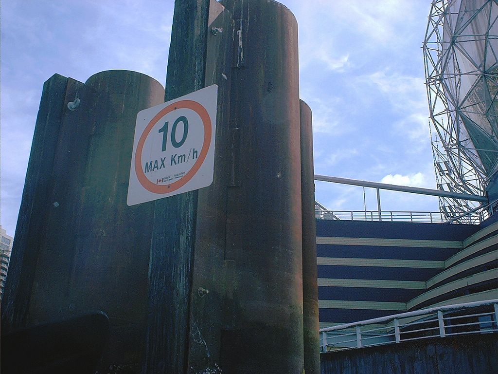
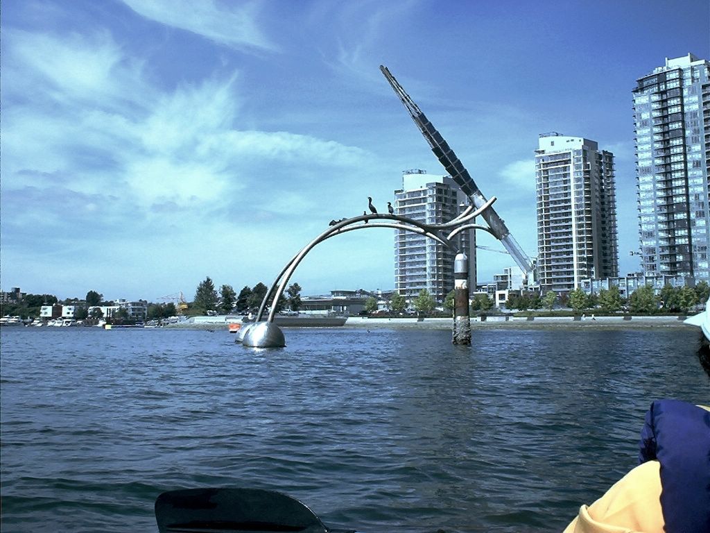
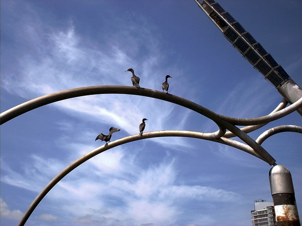
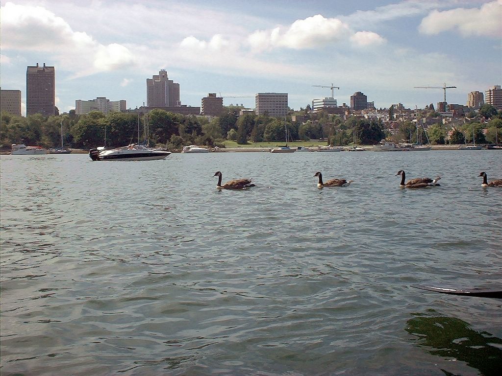
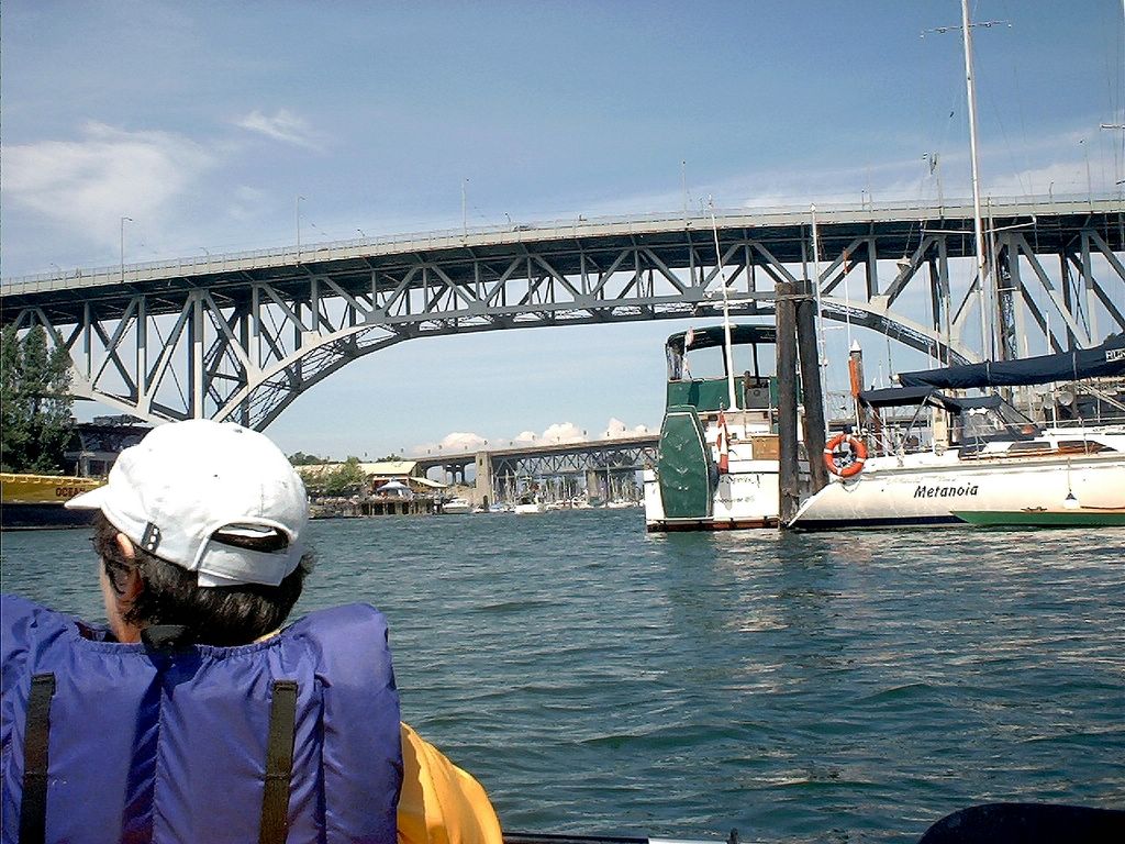
Kayaking False Creek in downtown Vancouver
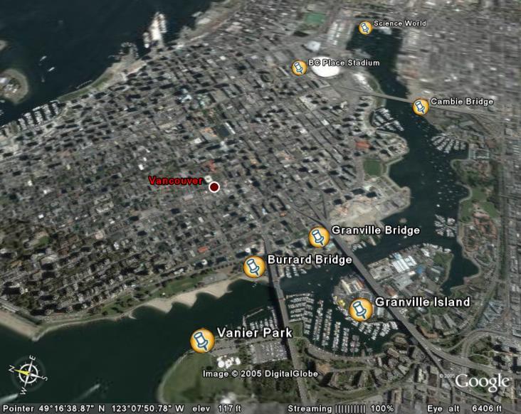
Satellite Image of our route (courtesy Google Earth)
Kayaking False Creek in downtown Vancouver (2005-07-14)
Subscribe to:
Posts (Atom)